
100_4739
Originally uploaded by Sam Vekemans
Ya, so the way it was, was a few days prior I say someone as i was walking down the road in Galway, with a Tim Hortons Cup.
I thought, what? OK there are alot of different people, some bring other things on their travel, so i figured this was just this persons way of showing everyone that they are Canadian. ... A cultural identity. Fine. So i brushed it off and didnt thing more of it.
...
Until I got to Bangor, Co. Mayo (which is North of Westport. ..North of Galway, South of Sligo. .. well, if you havent been here or seen a map. .. Anway, As you can see in the picture. It's Jim on Travels with Sam. . At a Tim Hortons. It's only a coffe stand inside the variety store. As they couldnt bring the staff here to make the cofee. SO it gets premade. I dont thing anyone here knows how to make it right anyway. ... :)
So does this mean that there is now no reason for me to live in Canada anymore? ... If all the comforts of home are already here. (Wi-fi, Tims & and people speaking the same language) ... thats all i need.
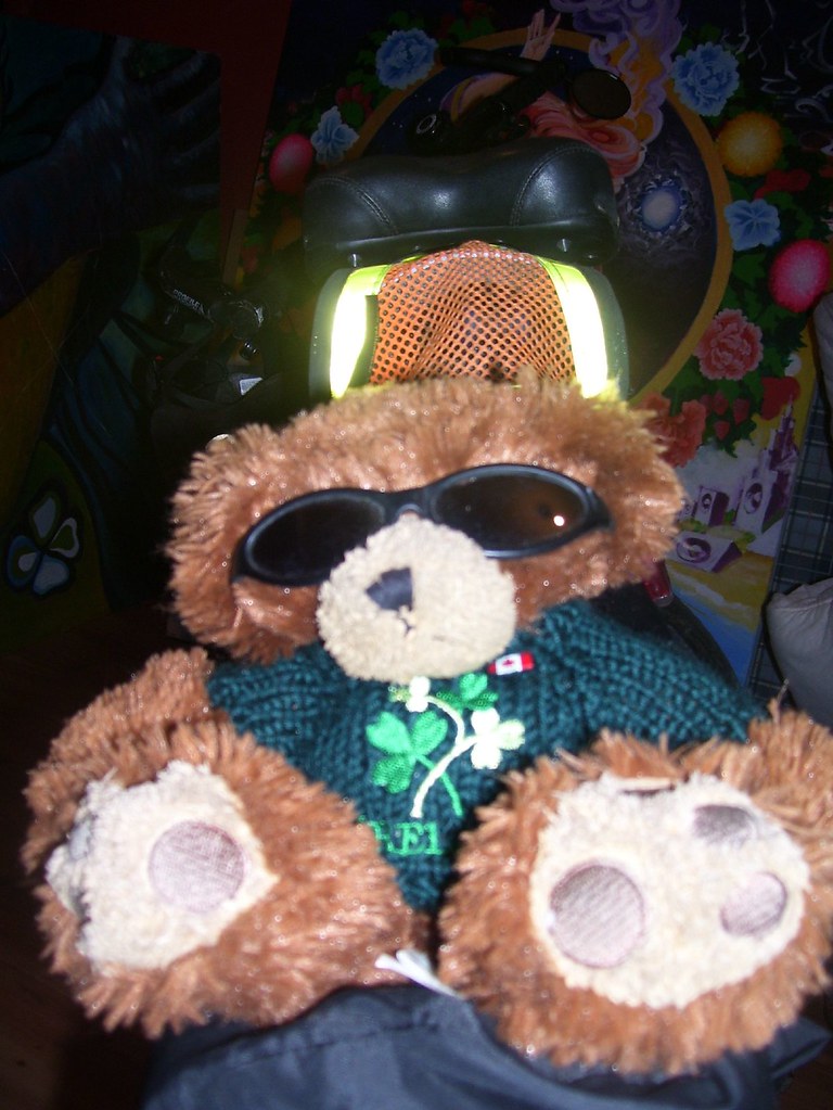
So ya, this is a cool photo. .. the bike looks similar, but i changed alot of the parts. .. as things ware down. And, well. ... Jim Has seen alot. I'm now taking some time here and documenting where he went.
Check out the latest entry on Grazyguyonabike.com :)
http://www.crazyguyonabike.com/doc/samvekemans
Bike Vancouver Island to North Vancouver at EveryTrail
Map created by EveryTrail: GPS Travel Community
Here's a Wicked google earth show of my route. .. It's just a start. .. As im figuring how to show the complete route on 1 page.
As some sections are missing on this one. ..
But i have all the pieces of the puzzel... so it's putting it together now.
As Crazyguyonabike is just for personal journals, there is a limit to what i can post.
However, I can post a drawing of my actual route across canada.
Which is cool :) .. and photos. ..
However, it'll be this site where i can show the larger info for each days travel which will include the vertical profile of each days ride.
..
My goal is to gathe route information from many others and point out on the google map, where the campground are that they mention on their blogs. .. when they say they stoped at a bike shop, i'll find that bike shop and a photo of it.. and it's exact points. And be showing that in the GE community file.
Right now i think that only on GPX file i can have all the waypoints. ... As there is a limit on how many waypoints. .. it would be better to have these waypoints abedded points of interest on the GPS. ... Also, i need to figure out how to create a IMG file for the route, and be placing that on a file which can be downloaded. It's an IMG file.
So somewhere out there on the net is a way to get that done.
.. But for now, it's just 1 day at a time. .. And having the same info which is posted on crazyguyonabike.com onto the GE Community waypoint of my own route (I'll have 98 waypoints)... showing my route and the distance traveled)..
But more importantly, the map is to show people where the campsites are and where the info centers and where the motels are. .. and phone numbers. ... As this info is monstly needed.
So far, I disocvered how to create custom points of interest where i can show the namf the place. ... but dont know how to add in a description.
I'm asking the universe for somehelp here. Those who want to help, please contact me, and you can be of some great help. And Yes, there's got to be a way to make money from this. As if there's a will, there's ALWAYS a way.
Cheers,
Sam
No comments:
Post a Comment